Portola Redwood Park Backpacking Camp via Long Ridge 10 miles O/B

Views: Forest
Crowd: Low
Average Speed: 3.9 mph
Stopped Time: 0 min
Difficulty 1-5 for relative distance: 2.5
Bike: NO Bikes
Dogs: NO Dogs
Cautions: Poison Oak - off trails
Hike Direction: East to West, O/B. *Mileage listed is for one way on GPX file .
Download GPX route: Click Here
Parking: Free - Off Skyline at the beginning of Long Ridge; but you can use several locations including the pay entrances to either park.
Driving Directions:
https://www.google.com/maps/dir//37.269408,-122.141347/@37.2693723,-122.2112979,12z/data=!3m1!4b1
More info:
Long Ridge http://www.openspace.org/preserves/long-ridge
Portola Redwoods http://www.parks.ca.gov/?page_id=539
Pescadero http://parks.smcgov.org/pescadero-creek-park
This 21 mile loop connects Portola Redwoods Park, Pescadero Park, Sam McDonald Park and Memorial Park to the all others that are accessible (from Windy Hill to Sanborn Park) via Skyline.
It dips into the Redwoods passing the original sight for the Page Mill. After the first and last three miles the trails are primarily single track with 95% Shaded.
Hike this loop in a clockwise direction. This hike is a lot tougher on the way back as it is mainly uphill.
Camp and Trail Map:
https://parks.smcgov.org/sites/parks.smcgov.org/files/McDonald-PescaderoBrochure-Nov2015-FINAL2-web.pdf
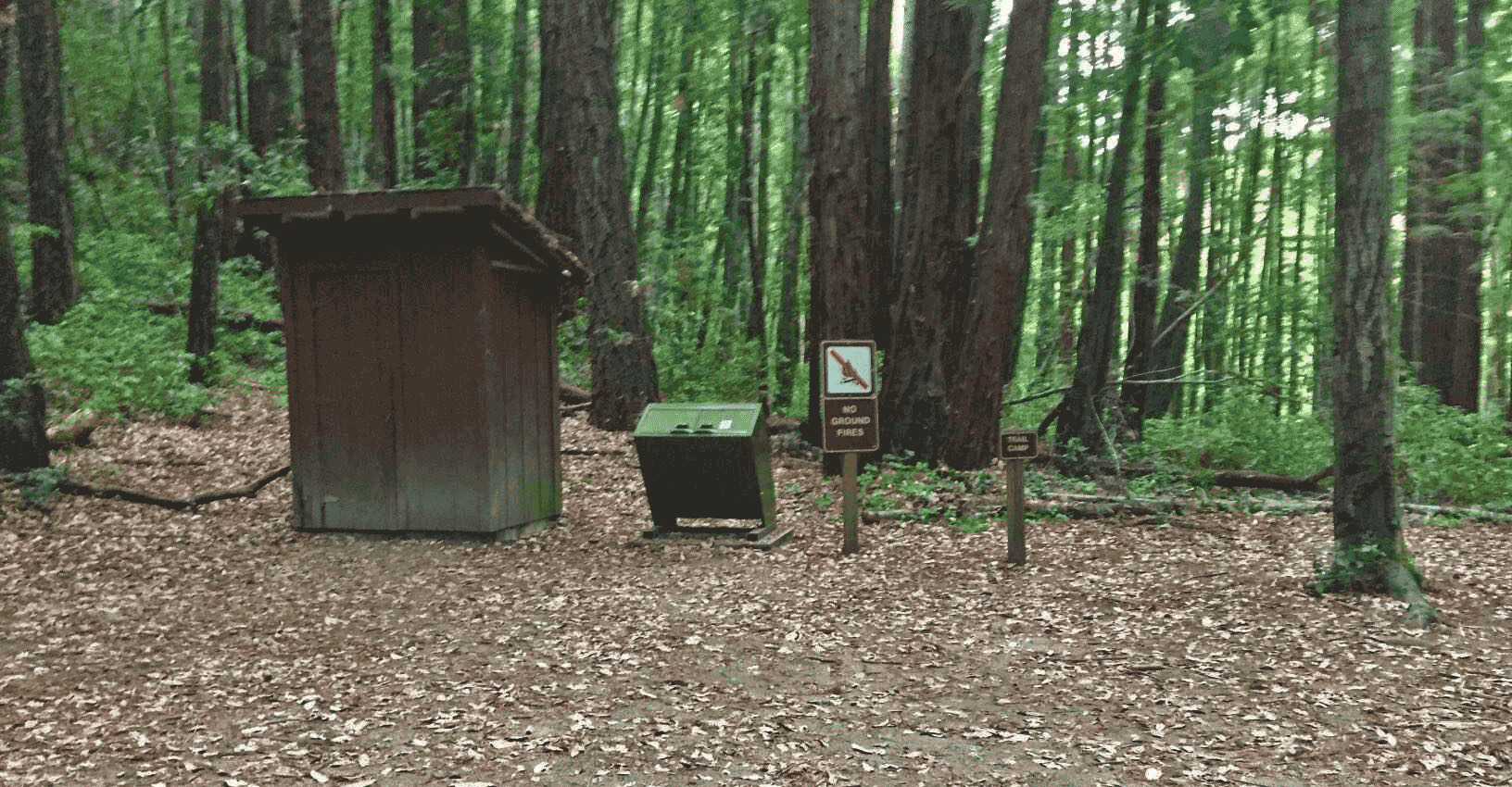
Camping is available in Pescadero Creek Park. Trail camps at Shaw Flat and Tarwater Flat are available for a fee on a drop-in basis for backpackers who register with the ranger at Memorial Park. No water is available at trail camps. Backpack stoves are permitted in trail camps.
San Mateo County Parks
Reservations 650-363-4021
General information 650-363-4020
www.SMCoParks.org

Red = Out & Back (O/B) or Connection hikes
Green = Loops
Blue = Backpacking including Backpacking thru hikes
Light Blue = Thru hikes
Yellow = To-do Backpack
Pink = Smaller loop option
Orange = To-do
Purple = Bay Ridge Trail thru hikes
GENERAL NOTES:
• Total Elevation Gain reported by GAIA on IOS devices looks to be a bit under reported when compared to Garmin devices that feature Baro elevation correction. It has been left for consistency.
• I carried a full overnight weekend backpack and hiked solo, unless otherwise noted. This certainly slows the time and pace a bit. I did so initially for the workout, but now so that the pacing is consistent and thus more predictable for comparing hike to hike times.
• Often midweek you might not see another person on your loop. Some of the Best Hikes on the Peninsula are surprisingly remote.
• Some of the trails have sharp drops just off the edge of the single track. A fall off in the wrong spot could be very bad.
• Cell signal is spotty to non-existent in many of the areas.
• Carry a headlamp in case you get lost, delayed, over estimated your progress, when you have an afternoon start, etc.
• When Hiking Solo, consider carrying extra food, first aid, and shelter or bivy, in case you find yourself lost, injured or in the parks after dark. It could be better to shelter in place, than continue without working light, tripping and falling off a cliff or wandering lost thru the night.
• Wildlife consists not only of lizards, rabbits, birds (including turkeys and hogs in some of the areas) and deer, but I have seen or seen signs of coyote, bob cat, rattle snakes and even mountain lions in several of the preserves over the years.
Seems like the lizards make the most noise as the run thru the leaves, but note that on several occasions the rattle snakes did NOT rattle. It never hurts to be aware of where you are stepping.
ABOUT DOGS AND BIKES:
Most of the hiking routes cover a large area and numerous hiking trails. While some of the hiking trails used to create the route might allow dogs or bikes, a "NO" for either is listed if at any point on the hike, a hiking trail used for the hike, has a "NO" sign is posted.
However, regardless of the signs posted, please note that you'll often still see both.